Home
OUR COURSES
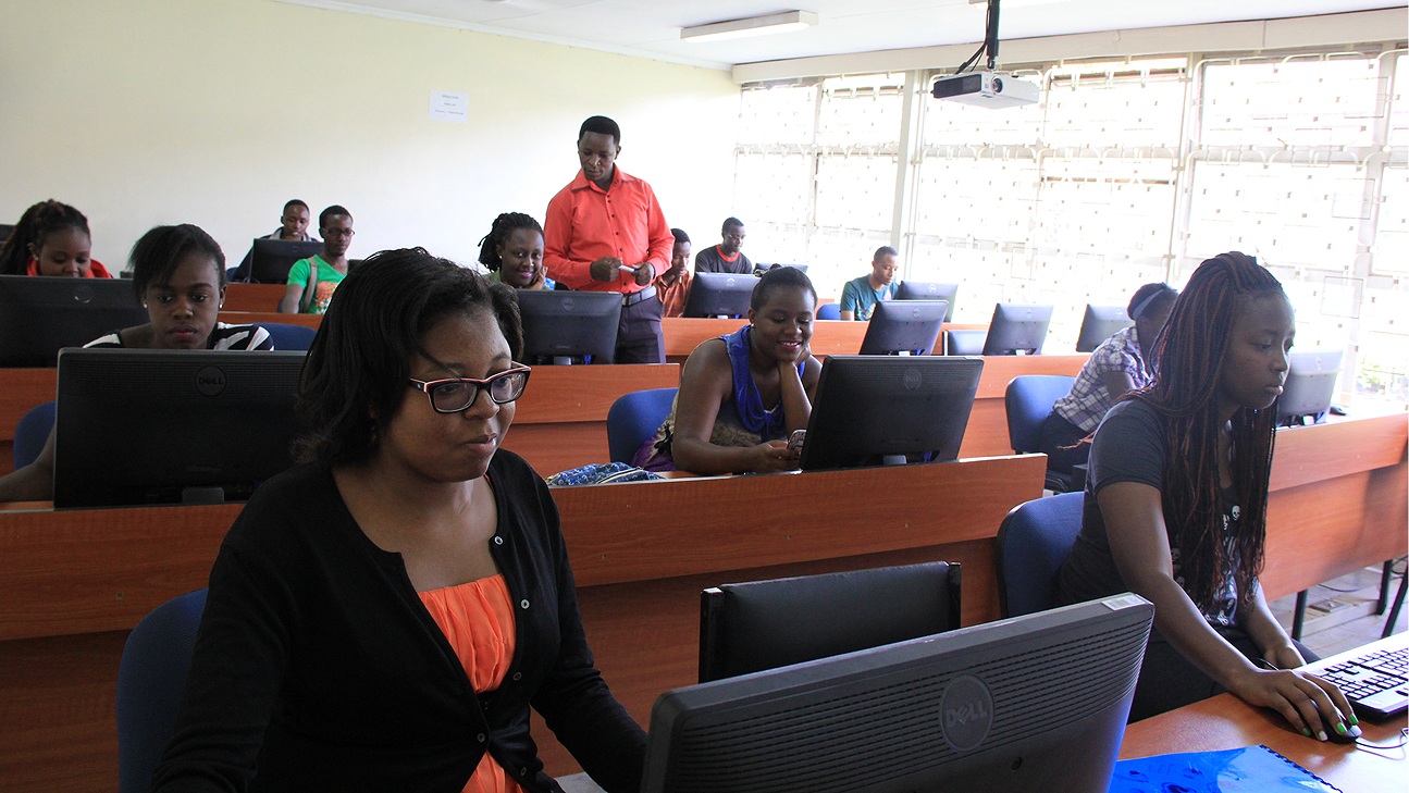
Open-source data and tools offer the possibility to monitor our planet in a spatial and temporal extent. RCMRD seeks to bring the requisite technical capabilities to member States so that they can harness these opportunities. This course has been prepared in that spirit.The Training will provide participants with the opportunity to develop crucial skills required for spatial data processing to address thematic challenges or any particular challenge of interest). Throughout the learning week participants will focus on developing skills in natural resource mapping using Earth Observation (EO)/Remotely Sensed (RS) data. Many different, complementary and sometimes overlapping tools will be presented to provide an overview of the existing arena of open source software available for spatial data processing. Participants are expected to gain knowledge from a series of lectures and practical sessions. It also provides a platform for the participants to communicate with experienced practitioners and industry experts as well as widen their professional networks.
Preamble: GIS has become essential in decision making, planning, and management of multi-layered spatial database. GIS software used by RCMRD includes Open source QGIS and Commercial GIS (ArcGIS).
This is a 10-day course and covers the following:
- Exploring GIS concepts
- Displaying data, Querying database
- Working with spatial data
- Working with tables
- Editing Data, Working with georeferenced data
- Working with layers and maps
- Displaying locations from tabular data
- Automating data, Editing the database schema
- Editing spatial and attribute data
- Presenting data
Preamble: This course provides an introduction and practices associated with digital cartography principles, concepts, software and hardware required to create good maps, particularly in GIS.
This is a 2-week course covering:
- Introduction to digital cartography
- Fundamentals and applications
- Practical Digital Cartography and GIS mapping functionality
Course Objectives
The purpose of the course is to provide knowledge and technical skills in AutoCAD drawing using AutoCAD Civil 3D for applications in areas such as cadastral surveys, road and highway designs, building designs structural designs among others.
Course Content
- Introduction to Civil3D.
- Working with Points.
- Generation of Surfaces.
- Survey.
- Alignments
- Project Management
- Profiles.
- Parcels.
- Grading.
- Assemblies
- Corridors.
- Intersections and round abouts
- Cross sections.
- Material calculation.
- Pipe Networks.
- Part builder
- Labels and Tables.
- Plan Production
Duration: 10 Days
Fee Charges: 300USD
Target Group: Land surveyors, Engineers, Architects, Draftsmen, Cartographers, Students and other interested individuals.


